Coastal Watersheds
Northern Willapa Bay Watershed
Watersheds link the habitats of Washington’s Pacific Coast from headwaters to bays and the open ocean. Humans, wildlife, plants, fungi, and microbes are all connected along the path of a watershed. Watersheds may be explored at different spatial scales. In other words, we can explore the small watershed of a headwater tributary stream, the watershed of an entire river or river network, or in the case of Willapa Bay, the bay and all of its tributaries. This bay and its watersheds are important, supporting shellfish industry, logging, and tourism as well as wildlife. For example, Chinook salmon are found in all the major watersheds that drain into Willapa Bay. We have already explored the southern and central watersheds that flow into Willapa Bay. In this blog we explore the northern watersheds.
The northern part of the Willapa Bay watershed is structured by five major rivers and their tributaries. The largest rivers are the North River at 927 square km (229,000 acres), 98 km (61 miles) in length and Willapa River at 679 square km (167,740 acres), 71 km (44 miles) in length. Smith Creek is 174 square km (42,899 acres), 43 km (27 miles) in length. Cedar River is 103 square km (25,461 acres) when including the waterfront region along the bay and the main branch is approximately 6 km (4 miles) in length.
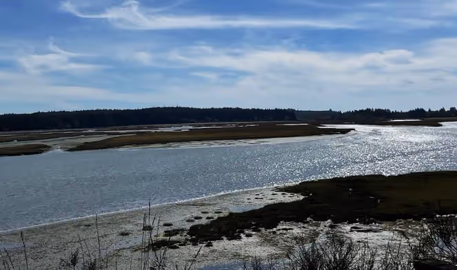
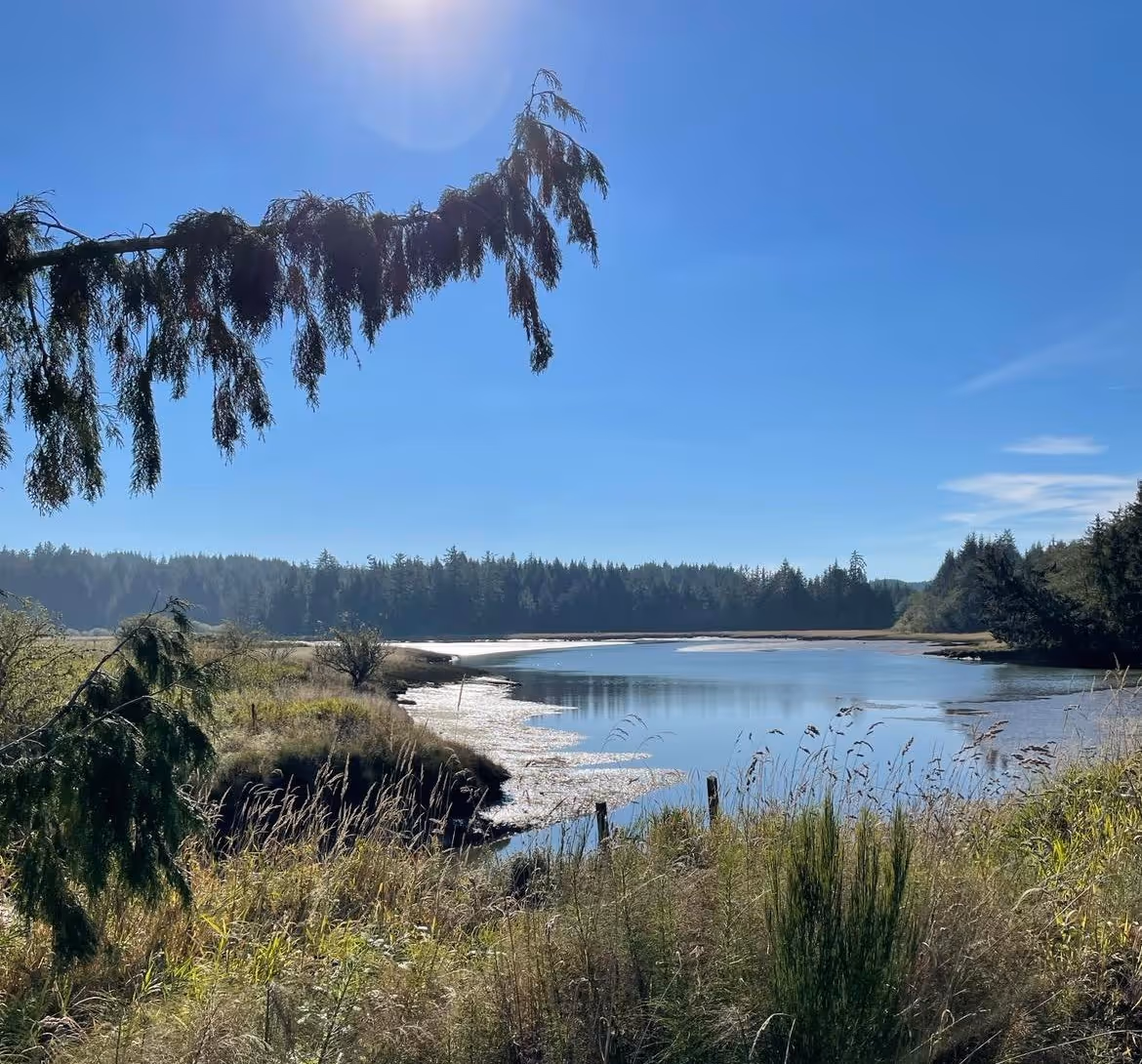
The North River is the largest watershed in Willapa Bay and enters the north side of the bay between the mouths of Smith Creek and Cedar River. The North River headwaters are far to the east originating in the Willapa Hills below ridges of nearly 600 meters (1950 feet) in elevation. This watershed is heavily forested with bands of logging. It is difficult to access for much of its lower reach which is characterized by low gradient or slow flowing water with tidal influences reaching from the mouth upstream to river mile 7.4. The watershed supports Pacific salmon including coho and Chinook. In fact, the North River Chinook salmon population was designated as a Wild Salmon Management Zone. Release of hatchery Chinook salmon is not allowed in the North River watershed. Although some habitat degradation has impacted these salmon populations, groups such as the Coastal Salmon Partnership have worked to restore habitat and hence salmon populations in Willapa Bay including the North River watershed.
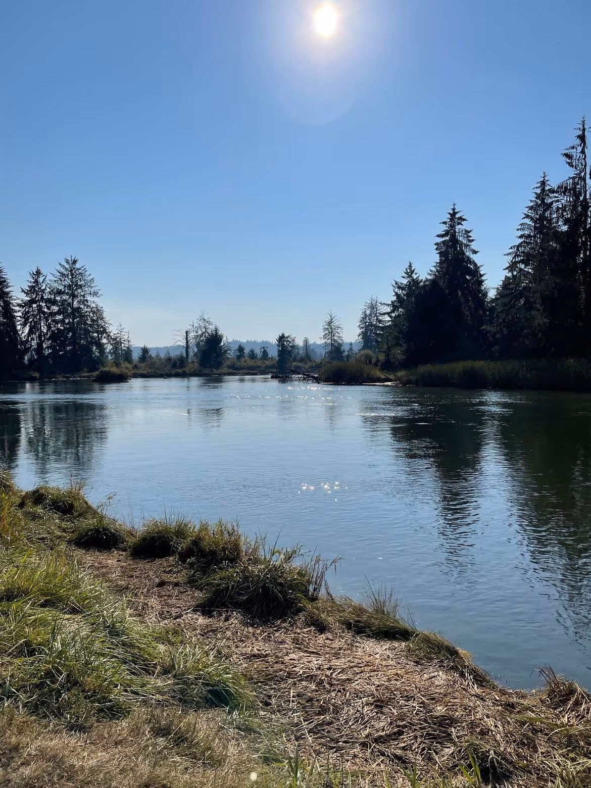
The Willapa River has two large branches, the main branch and the South Fork Willapa River. These two branches flow together from the north and south sides of the city of Raymond forming a confluence before flowing past the city of South Bend and on into the bay. The headwaters for the main branch of the Willapa River are found in Willapa Hills draining ridgelines of approximately 731 m (2400 feet) in elevation. The river flows along Washington State Highway 6 for much of its length, flowing through small towns like Menlo and Willapa. The river crosses the Willapa Hills State Trail throughout much of its length. This trail is part of the Washington State Parks trail system spanning the state from Idaho to Willapa Bay. On the west side of the coast range divide, the trail heads toward Willapa Bay and on the east side of the divide it parallels the headwaters of the Chehalis River. The trail is unimproved on the Willapa Bay side, but beautiful to hike with amazing views of the Willapa River and valley.
Land use and land cover in the Willapa river watershed upstream of Raymond is comprised of 80% forest, 12% non-forested land, open water, and wetlands, and 8% agriculture. The Willapa River was listed as impaired by pollution in the past, but collaborative efforts between city, state, and non-profit organizations resulted in significantly improved water quality for the river. This improved condition benefits the shellfish industry, salmon recovery plans, and recreation. The watershed supports fall Chinook, coho, fall chum salmon, and winter steelhead trout. The main branch and the South Fork Willapa River support these species as well as smaller tributaries such as Trap, Mill, Wilson, Forks, and Ellis Creeks.
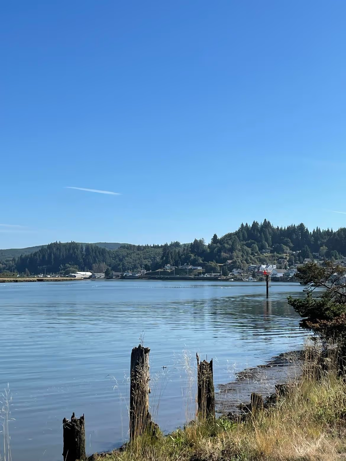
The main branch and South Fork Willapa are wide and tidally influence at Raymond, but flow together for about 11 km (7 miles) before flowing into the bay. Raymond and South Bend are both located along the banks of the lower Willapa River. Raymond has just over 3000 people and South Bend has just under 1700 people. The shellfish industry is important in this area and other industries include logging and shipping.
To the north along State Highway 105, Smith Creek flows into the river. This is the second smallest of the north Willapa Bay rivers. A boat ramp is located at the mouth of Smith Creek with easy access for boating and fishing. The headwaters are located in Willapa Hills to the east.
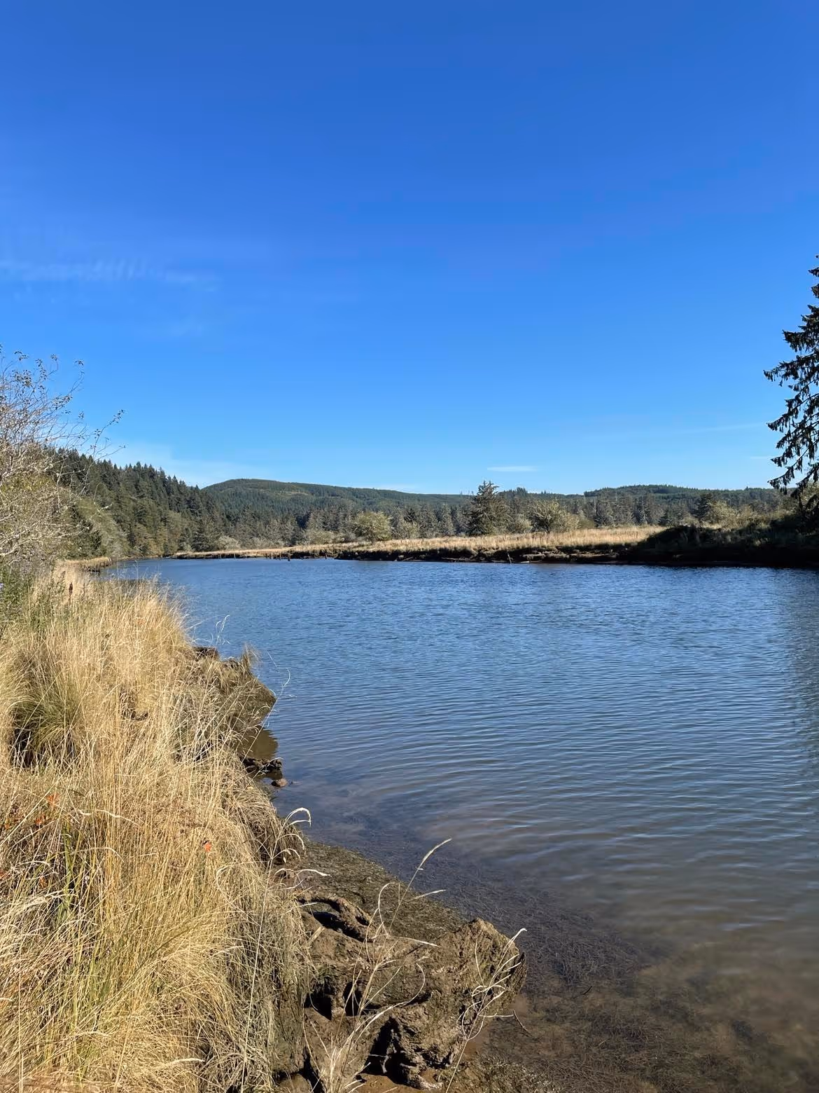
By contrast, Cedar River originates in the hills to the north and west near Grayland, Washington. Cedar River is the smallest watershed in the North Willapa Bay area. Willapa Bay Cedar River Conservation area is located near the mouth of the river off of HWY 105. This conservation area allows parking and hiking along the lower reaches of Cedar River and its marshes and estuaries.

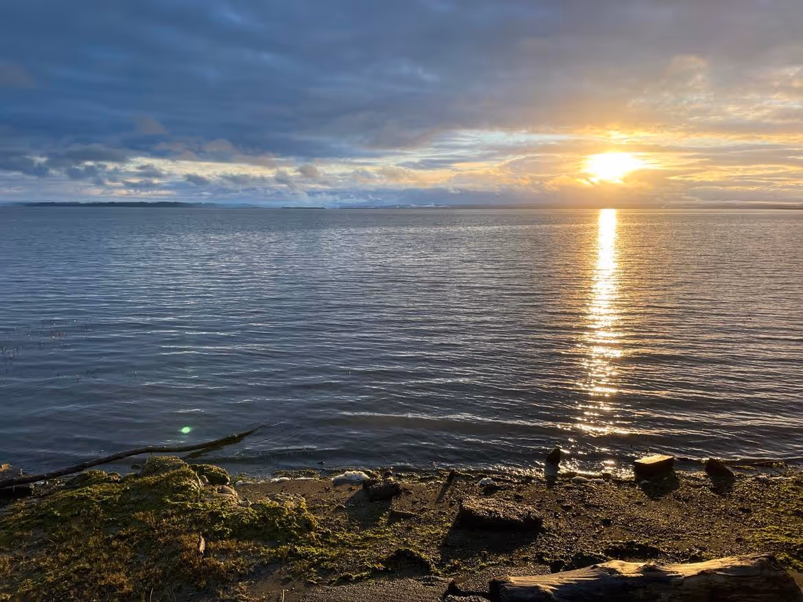
Willapa Bay is large, covering 378 km sq or 93,447 acres and is bordered by the Coast Range to the east. The southern and central part of the bay is protected by a long, narrow peninsula. Long Beach peninsula extends northward about 43 km or 29 miles. This long peninsula protects the inner bay and creates important estuaries and habitats for migratory shore birds, marine mammals, Pacific salmon, and shellfish farms. The northern part of Willapa Bay is protected by the Tokeland headland that only extends south by 4.6 km or2.9 miles. Sedimentary rock and basalt underlie the low mountains of the Coast Range that characterize this entire region, forming the headwater regions for the rivers that shape Willapa Bay.
Coastal Salmon Partnership. 2015. WRIA 24 Lead Entity Manual. https://www.coastsalmonpartnership.org/wp-content/uploads/2019/02/Pacific-County-WRIA-24-Lead-Entity-Strategy-2015.pdf (Last accessed 11 December 2022).
EPA. 2010. Washington’s Willapa River: REPORTING WATERSHED IMPROVEMENT Based on Statistical Evidence of Watershed-wide Improvement (Option 2a). https://www.epa.gov/sites/default/files/2016-03/documents/r10willapa.pdf (Last accessed 11 December 2022).
EPA. 2010.Washington’s Willapa River, Section 319 Success Story. https://19january2017snapshot.epa.gov/sites/production/files/2015-10/documents/wa_willapa.pdf (Last accessed 11 December 2022).
Herring, C., Pope, J., McClellan, B., and Jennings, L. 2020. Draft Comprehensive Review of the Willapa Bay Salmon Management Policy C-3622 2015-2018. https://wdfw.wa.gov/sites/default/files/publications/02157/draft_jul2020_wdfw02157_0.pdf. (Last accessed 11 December 2022).
Washington Department of Natural Resources. 2022. Willapa Hills. https://www.dnr.wa.gov/programs-and-services/geology/explore-popular-geology/geologic-provinces-washington/willapa-hills. (Last accessed 11 December 2022).
Washington Open Geospatial Portal. 2022. Hydrologic Cataloging Unit (12 digit HUC) | Hydrologic Cataloging Unit (12 digit HUC) | Washington State Geospatial Open Data Portal. (Last accessed 11 December 2022).
Washington State Department of Ecology. 2017.Washington State River Miles (USGS-WDFW) (2014). Dataset downloaded from: http://www.ecy.wa.gov/services/gis/data/data.htm. https://databasin.org/maps/new/#datasets=f5e7ff87fd6942d09d08e7cfb7292f2c (Last accessed 11 December 2022)
© Barbara Hayford, December 2022
Touch whale bones, examine shipwreck artifacts and connect with the coast's living history.

Support our mission, get involved in educational programs, or contribute through donations and volunteering.