Coastal Watersheds
Coastal Watersheds: The Columbia River Watershed
Coastal watersheds link the land to the rivers and the rivers to the sea. This is an important topic for the Coastal Interpretive Center, because our geographic focus includes Washington’s Pacific Coast which extends northward from the Columbia River to Cape Flattery and eastward from the continental shelf to the Olympic Mountains. Perhaps the most relevant definition for the purpose of this and future Coastal Watersheds blogs is provided by the National Oceanographic and Atmospheric Association, which defines a watershed as “. . . a land area that channels rainfall and snowmelt to creeks, streams, and rivers, and eventually to outflow points such as reservoirs, bays, and the ocean.”
The Columbia River watershed is the largest watershed influencing Washington’s Pacific Coast, traveling 1,243 miles the headwaters to the Pacific Ocean. It covers 724,025 km² across British Columbia, Washington, Oregon, Montana, Idaho, Wyoming, Utah, and Nevada. The Columbia River is the seventh longest river in the United States and the fourth largest in terms of volume, with discharge measured at265,000 cubic feet per second when it reaches the Pacific Ocean. This large force of freshwater collides with the saltwater in the Pacific. The river water then is brought north, carrying freshwater, sediments, and nutrients to Washington’s Pacific Coast. Prior to the construction of dams, the river carried more sediments down to the ocean, but dams often block the downstream flow of sediments, as well as upstream movement of salmon.
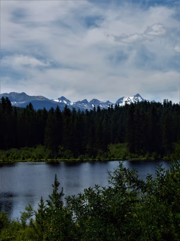
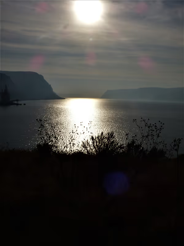
Headwater Lake, British Columbia
Two great mountain ranges contribute melt water and precipitation runoff to the Columbia, the Northern Rockies and the Cascades. The furthest reaches of the Columbia flow from the Northern Rockies in Canada, but many tributaries flow from Montana such as the Bitterroot, Clark Fork, Blackfoot, and Flathead Rivers. These rivers, famous for fly-fishing in literature and film, flow into the Pend Oreille in Idaho before reaching the Columbia River. Downstream of the confluence with the Pend Oreille, the River flows south before taking a detour west, receiving runoff from the East slope of the Cascades. Then the Columbia flows southeast where it forms a confluence with the Snake River before entering the Columbia River Gorge.

Flathead Lake, Montana
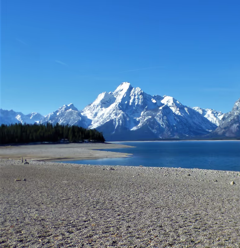
Grand Teton National Park, Wyoming
The largest tributary of the Columbia River is the Snake River. It originates in the Grand Tetons in Wyoming. A famous tributary of the Snake is the Salmon River in Idaho, one of the first eight rivers to be designated as a National and Scenic River in the United States. This river drains remote mountain watersheds in northern Idaho and southern Montana and is renowned for its whitewater rafting and fly-fishing. Eventually, the Snake River flows through the deserts of southern Idaho and is fed by tributaries originating in the arid lands of Northern Nevada. The river plunges 212 feet at Shoshone Falls just east of Twin Falls, Idaho, then turns north by northwest before flowing into the Columbia.
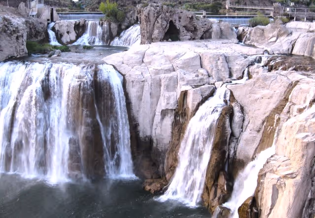
Shoshone Falls, Idaho[/caption]
The Columbia River grows to over a mile wide in places after receiving water from the Snake River as it flows westward, beginning its final descent to the Pacific Ocean. At the confluence with the Deschutes River, the Columbia enters the Columbia River Gorge, a canyon over 80 miles long and 4000 ft deep in places, defined by black basalt rock formations that are stark against the background of golden grain and verdant temperate rainforest. At one time, the Columbia River was a raging torrent as it raced to the sea through the Gorge, but now the flow is mitigated by four dams on the lower Columbia.
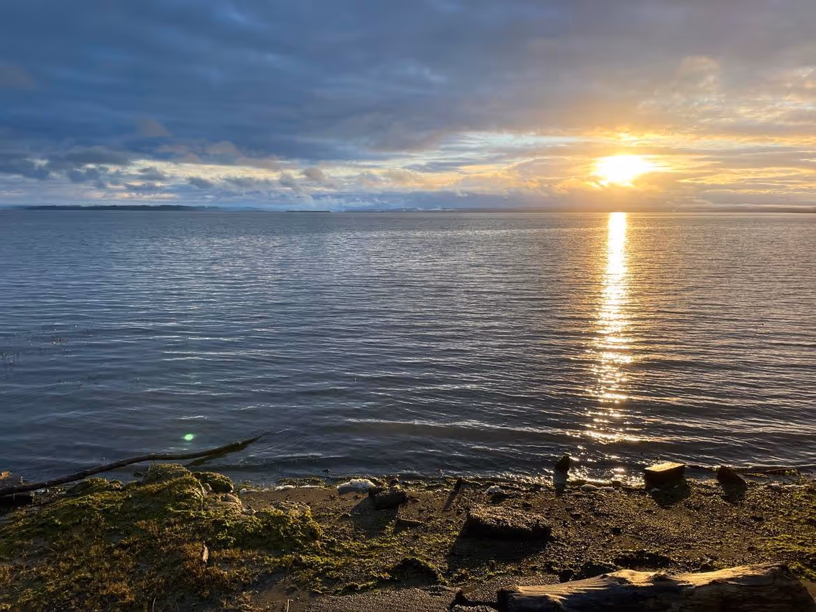
Columbia River
The Columbia River flows past Portland, Vancouver, and Astoria before releasing its huge volume of freshwater into the Pacific Ocean. It is the largest river flowing into the Pacific in the lower 48 States. It has carried water from the headwaters over a thousand miles away to the western edge of our continent. Once the freshwater meets the sea, it forms large plumes that move west, south, or north. Scientists estimate the plume can reach as far south as San Francisco and as far north as the Juan de Fuca Strait. In fact, these freshwaters enter both Willapa and Grays Harbor bays. Seasonal effects on tides and wind shears drive the freshwater plumes to these final destinations, impacting water chemistry, algal blooms, and smolts along the ocean’s continental shelf as well as in estuaries.
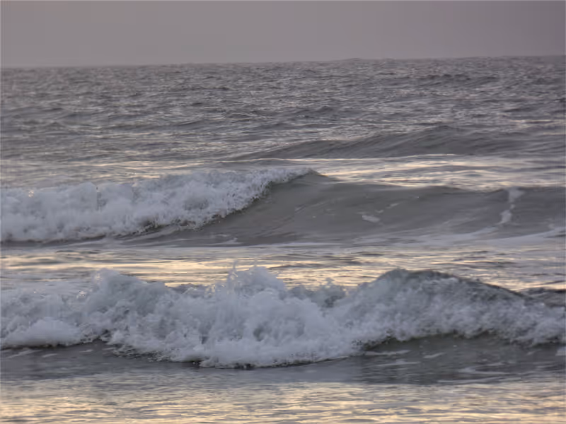
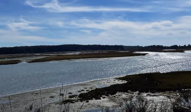
Pacific Beach, Washington
So, when gazing out on the bays, beaches, and oceans of Washington’s Pacific Coast, remember that you are connected to icons of the American West: The Grant Tetons in Wyoming, Glacier National Park, Shoshone Falls, Mt. Rainier, the Great Basin and Deschutes River, and the Columbia River Gorge. The Columbia River connects these great places with all of us here along the Coast, living life on the edge.
For more information about the Columbia River Gorge see: https://www.fs.usda.gov/crgnsa
For more information about dams along the lower Columbia see:
River data were retrieved from: Data Basin. 2022. https://databasin.org/about/ (last accessed June 22, 2022).
Berdeal, I.G., B.M. Hickey, and M. Kawase. 2002. Influence of wind stress and ambient flow on a high discharge river plume. Journal of Geophysical Research, Oceans. 107 doi.org/10.1029/2001JC000932
Stanford, J., F. Hauer, S. Gregory, and E. Snyder. 2005. Pp 591-641 In Benke, A. and C. Cushing (eds.) Rivers of North America. Elsevier Academic Press, Burlington, MA.
USGS. 1981. River basins of the United State: the Columbia. US Government Printing Office, Washington D.C. 4pp.
© Barbara Hayford, June 2022
Touch whale bones, examine shipwreck artifacts and connect with the coast's living history.

Support our mission, get involved in educational programs, or contribute through donations and volunteering.