Coastal Watersheds
Central Willapa Bay Watershed
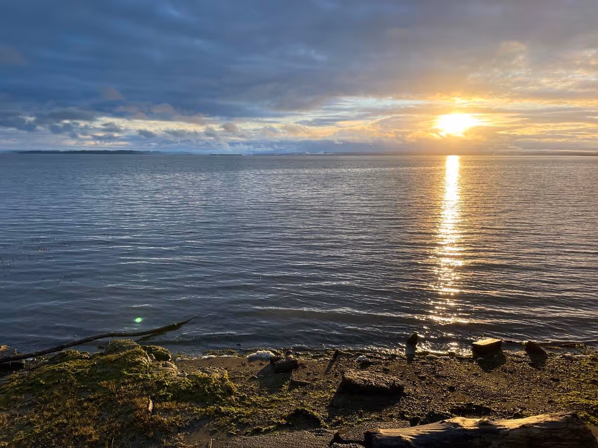
Willapa Bay is a system of bays, estuaries, rivers, sloughs, and freshwater and salt marshes found along Washington’s southern Pacific Coast. It is a large bay, covering 378 km sq or 93,447 acres and is bordered by the Coastal Range to the east. The southern and central part of the bay is protected by a long, narrow peninsula. Long Beach peninsula extends northward about43 km or 29 miles. This long peninsula protects the inner bay and creates important estuaries and habitats for migratory shore birds, marine mammals, Pacific salmon, and shellfish farms. The northern part of Willapa Bay is protected by the Tokeland headland that only extends south by 4.6 km or 2.9 miles.
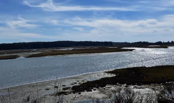
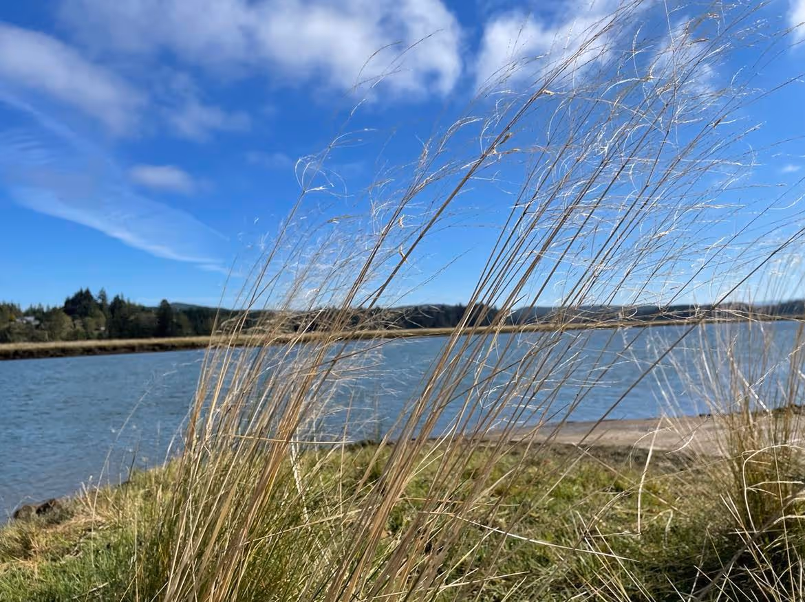
The central part of the Willapa Bay watershed is structured by three major rivers: Palix, Niawiakum, and Bone. The three watersheds are approximately 155 square km or 38,259 acres in size. The greatest length of the Palix River is 23 km or 14 miles in length if measuring the main stem and its longest tributary. The watershed is composed of four tributaries, the North, Middle, and South Forks of the Palix River and the Canon River. These tributaries enter into the main stem of the Palix River where the river exhibits tidal influences and forms an estuary. Canon River forms the longest tributary with headwaters in the Willapa Hills. Canyon Creek joins Canon River after flowing through a gorge!

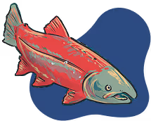
The watershed also has a waterfall, the Palix Falls, located on the North Branch of the Palix River. These falls are located approximately 2.5 miles upstream from the main stem of the Palix River and may be difficult to reach without a road or major trails. Paddling upstream to the site is an option. The main stem of the Palix River forms the north shore of Bay Center, home to one of the largest shellfish farms in North America. The oyster beds are clearly visible from U.S. HWY 101 and from Bay Center. Land use of the Palix River watershed also includes the Palix River State Wildlife Recreation Area. The Canon River provides suitable habitat for Pacific salmon.
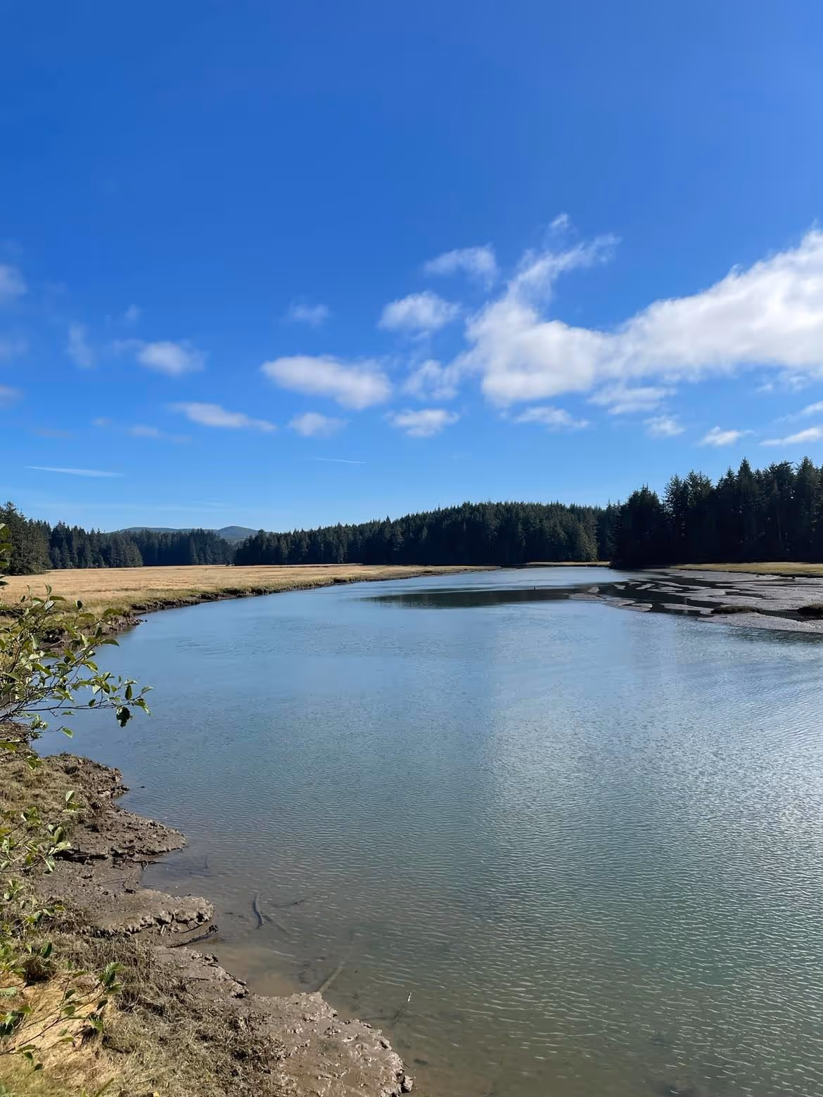
Just north of the Palix River are two rivers similar in size supporting important wetland and wildlife habitat. Both the Niawiakum and Bone are short rivers only 9.7 km or 6 miles long, originating in the low hills to the east of Willapa Bay. Most of the Niawiakum River is characterized by a wide channel, tidal influences, and estuaries. Land use is mostly comprised of the Niawiakum River Natural Area Preserve, a 1,098-acre preserve that protects four types of salt marsh ecosystems, strands of large Western Cedar, and wildlife. The river supports Coho and chum salmon and steelhead trout. Evidence for the 26 January 1700 tsunami is visible in the soils along the Niawiakum River.
The Bone River watershed is more complex than the Niawiakum River watershed with three tributaries interspersed by small reservoirs or ponds. The Bone River Natural Area Preserve covers a large part of the watershed. This 2,800-acre preserve protects a system of sloughs, tidal flats, wetlands (saltwater and freshwater), streams, and conifer forests. The preserve is instrumental in conserving steelhead and Coho salmon runs and threatened species such as the marbled murrelet. The Niawiakum and Bone River Natural Area Preserves are managed by Washington Department of Natural Resources with estuaries that support some of the best-preserved saltwater marshes in Washington State.
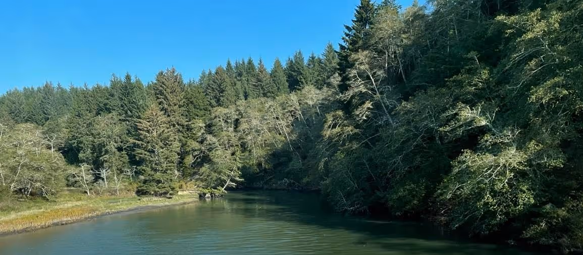
All three Central Willapa Bay watersheds have headwaters in the Sitka Spruce Belt - Coastal Volcanic Uplands dominated by evergreen forests. The forests are dominated by Western Hemlock and Western Red Cedar followed by Sitka Spruce to the west and some Douglas Fir to the eastern parts of the watersheds. Deciduous forests are dominated by red alder and big leaf maple as well as vine maple. The bedrock is basaltic and fog settles over the higher elevations, keeping them moist, even during dry summers.
Like the southern rivers and estuaries of Willapa Bay, the central rivers have been part of restoration work to support Pacific salmon habitat. Recovery efforts focus on identifying and removing barriers to salmon movement, such as culverts that may preclude upstream spawning or downstream movement to estuaries for their transition into marine fish. This work has shown some success over the past twenty years. However, new threats arise. Drought and hot summers decrease stream flow and increase the temperature of standing waters, especially in shallow estuaries and riverine pools. The warmer the temperature the lower the dissolved oxygen which the fish breath. If dissolved oxygen levels get too low, the fish will asphyxiate.
Our other threats include the invasive European green crab. These crabs threaten land use in the region, particularly shellfish farms, and also threaten Pacific salmon by damaging and potentially destroying eel grass beds and other estuary habitat important for sustaining populations of salmon. The European green crab populations are being monitored by the Washington Sea Grant crab team and its cadre of citizen scientists. In addition, shellfish growers and other state agencies are working to capture green crabs in the region. This important work must be done after considerable training to avoid harming native crabs that may be captured and removed erroneously.
The Willapa Bay Watershed is a beautiful region, crowned by forests, with rivers running with Pacific salmon, other native fish, and a diversity of other wildlife. Please take some time to visit this beautiful part of Washington’s Pacific Coast.
Citations
Coastal Salmon Partnership. 2015. WRIA 24 Lead Entity Manual. https://www.coastsalmonpartnership.org/wp-content/uploads/2019/02/Pacific-County-WRIA-24-Lead-Entity-Strategy-2015.pdf (Last accessed 16 October 2022).
International Tsunami Information Center. 2022. 26 January 1700. (Last accessed 16 October 2022).
Marda Kardas-Nelson. 2022. Why Taylor Shellfish Farms is struggling to keep workers. 132: No 163. 2 pp.
NRCS. 2006. Willapa Bay Watershed Rapid Watershed Assessment. https://www.nrcs.usda.gov/Internet/FSE_DOCUMENTS/nrcs144p2_034700.pdf. (Last accessed 16 October 2022).
Schroeder, T. 2021. Pre-Settlement Forests of Southwest Washington: Witness Statements. bioRxiv, preprint, 15 pp.
USGS. 1981. Bone River Map. https://edits.nationalmap.gov/apps/gaz-domestic/public/summary/1503473. (Last accessed 16 October 2022).
USGS. 1981. Canon River Map. https://edits.nationalmap.gov/apps/gaz-domestic/public/summary/1503779. (Last accessed 16 October 2022).
USGS. 1979. Niawiakum River Map. https://edits.nationalmap.gov/apps/gaz-domestic/public/summary/1506976. (Last accessed 16 October 2022).
Washington Department of Fish and Wildlife. 2022. European Green Crab. https://wdfw.wa.gov/species-habitats/invasive/carcinus-maenas. (Last accessed 16 October 2022).
Washington Department of Natural Resources. 2022. Bone River Natural Area Preserve. https://www.dnr.wa.gov/bone-river-natural-area-preserve. (Last accessed 16 October 2022)
Washington Department of Natural Resources. 2022. Niawiakum Natural Area Preserve. https://www.dnr.wa.gov/niawiakum-river-natural-area-preserve. (Last accessed 16 October 2022).
Washington Open Geospatial Portal. 2022. Hydrologic Cataloging Unit (12 digit HUC) | Hydrologic Cataloging Unit (12 digit HUC) | Washington State Geospatial Open Data Portal. (Last accessed 16 October 2022).
Washington Sea Grant Crab Team. 2022. WSG Crab Team – Washington Sea Grant. (Last accessed 16 October 2022).
Wikipedia. 2022. Bone River. https://en.wikipedia.org/wiki/Bone_River. (Last accessed 16 October 2022).
Wikipedia. 2022. Niawiakum River. https://en.wikipedia.org/wiki/Niawiakum_River (Last accessed 16 October 2022).
Wikipedia. 2022. Palix River.https://en.wikipedia.org/wiki/Palix_River (Last accessed 16 October 2022).
World Waterfall Database. 2017. Palix River Falls. https://www.worldwaterfalldatabase.com/waterfall/Palix-River-Falls-9516. (Last accessed 16 October 2022)
© Barbara Hayford, October 2022
Touch whale bones, examine shipwreck artifacts and connect with the coast's living history.

Support our mission, get involved in educational programs, or contribute through donations and volunteering.