Coastal Watersheds
An Introduction to Coastal Watersheds
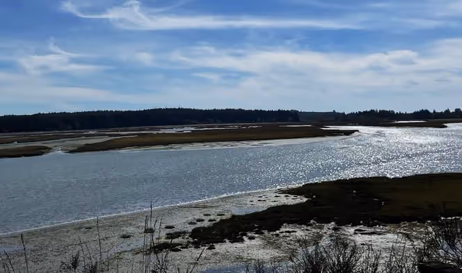
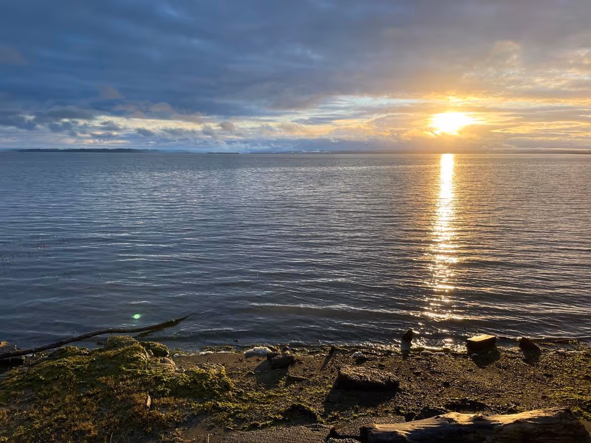
Coastal watersheds link the land to the rivers and the rivers to the sea. This is an important topic for the Coastal Interpretive Center because our geographic focus is on Washington’s Pacific Coast, which extends northward from the Columbia River to Cape Flattery and eastward from the continental shelf to the Olympic Mountains. Perhaps the most relevant definition for the purpose of this and future Coastal Watersheds blogs is provided by the National Oceanographic and Atmospheric Association, which defines a watershed as “. . . a land area that channels rainfall and snowmelt to creeks, streams, and rivers, and eventually to outflow points such as reservoirs, bays, and the ocean.”
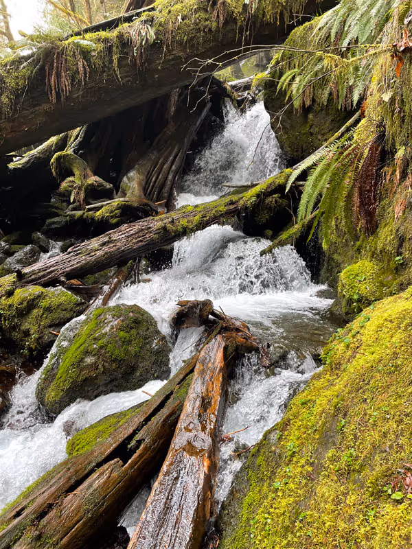
We tend to categorize ecosystems as distinct and disconnected, as rivers or coastal forests, as glaciers or oceans. Watersheds link these systems through the four major spheres of Earth: the lithosphere, biosphere, hydrosphere, and atmosphere: basically the geology, life, water, and weather of a region. Leaves from forests and meadows are carried by rain, snowmelt, and glacial melt to feed the invertebrates and fish in streams. Nutrients spiral through the food webs in streams and are carried back to the land by flying adult insects or predators such as bears and osprey that eat fish and leave carcasses on the land. These connections are influenced by rocks and other geological features and by weather patterns and climate. All watersheds eventually carry these cycles and connections to the sea, but coastal watersheds of Western Washington are more directly connected to oceans and ocean climates (with the exception of the Columbia River watershed, one of the largest watersheds in North America). Nutrients and sediments that cycle through coastal watersheds eventually enter the ocean where cycles are repeated but at different scales.
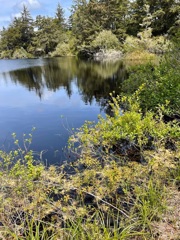
Coastal watersheds of Washington’s Pacific Coast may begin as cold, glacial melt streams high atop the Olympic Mountains or along the low coastal mountains of the Chehalis River. These watersheds are characterized by wetlands and bogs, cold and hot springs, glaciers and lakes. Underlying each watershed is the slow and steady pulse of groundwater which delivers precipitation that percolated down through soil and rock back to surface waters.
Clearly, the Columbia River watershed is the largest watershed influencing Washington’s Pacific Coast, traveling 1,243 miles from the headwaters to the Pacific Ocean. It covers 724,025 km² across British Columbia, Washington, Oregon, Montana, Idaho, Wyoming, Utah, and Nevada. However, some coastal watersheds are small, traveling only a short distance from their headwaters to the Pacific Coast. These small streams may not support salmon but their watersheds may support high levels of biodiversity due to their isolated nature.
Over the coming months, each Coastal Watersheds blog features a major watershed and its tributaries or small coastal watersheds. Major watersheds include the Columbia, Willapa, Chehalis, Quinault, Queets and Clearwater, Hoh, Quillayute, and Ozette. Smaller watersheds include the Humptulips, Copalis, and Moclips. Small creeks will be featured to explore their insular nature and biodiversity.
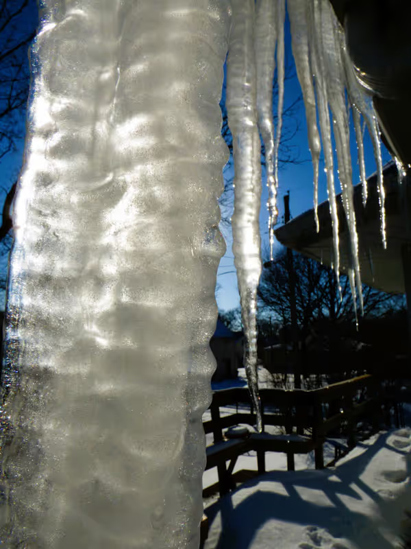
These dynamic systems include tribal lands, cities, towns, the Olympic National Park, Washington State Parks, US Forest Service Land, and private lands for logging and other industries. Water flows through open meadows, forests, high mountain valleys, low valleys, and coastal sand dunes. And to be clear, watersheds include everything from lawns, sidewalks in the rain, and water dripping from icicles to coastal bogs. Water flowing through watersheds connects us all from upstream to downstream, from the past to the present, and from cultural knowledge to natural history.

You are invited to explore these coastal watersheds of Washington’s Pacific Coast with the Coastal Interpretive Center over the months to come and perhaps we will all learn a bit more about this ecologically diverse and beautiful region.
References
Data Basin. 2022. https://databasin.org/about/ (last accessed May 17, 2022)
Stanford, J., F. Hauer, S. Gregory, and E. Snyder. 2005. Pp 591-641 In Benke, A. and C. Cushing (eds.) Rivers of North America. Elsevier Academic Press, Burlington, MA.
USGS. 1981. River basins of the United State: the Columbia. US Government Printing Office, Washington D.C. 4pp.
Washington Geospatial Open Data Portal. 2022. Hydrological Cataloging Unit (12 digit HUC). https://geo.wa.gov/datasets/9f8f8a45a04a491cbfe46f99214a2fb4_0/explore?location=47.764990%2C-120.111000%2C7.00 (Access May 17, 2022).
© Barbara Hayford, May 2022
Touch whale bones, examine shipwreck artifacts and connect with the coast's living history.

Support our mission, get involved in educational programs, or contribute through donations and volunteering.